Color coding of storm strength based upon Saffir-Simpson Hurricane Scale
TD
TS
1
2
3
4
5
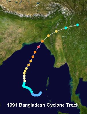
Track of 1991 Bangladesh Cyclone, April 1991 Source: Wikimedia Commons
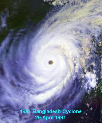
1991 Bangladesh cyclone near peak intensity on April 29 at 0623 UTC. Courtesy US NOAA / Satellite and Information Service
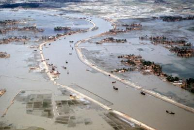
Flooded villages and fields around a river in Bangladesh the day after the 1991 Bangladesh cyclone Courtesy US Air Force Defense Visual Information Center Photo by Staff Sergeant Val Gempis
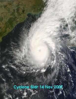
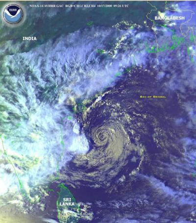
Tropical Cyclone Sidr (06B) in the Bay of Bengal, as seen by the MODIS instrument aboard NASA's Terra satellite on November 14 at 0445 UTC. Courtesy of MODIS Rapid Response Project at NASA/GSFC
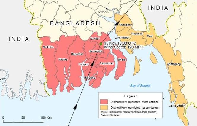
Map showing affected districts of Bangladesh due to Cyclone Sidr, November 2007. Courtesy Humanitarian Information Unit, US Department of State
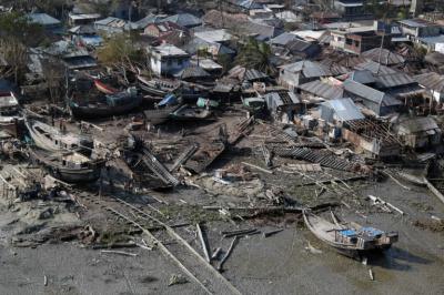
Coastal Damage due to Cyclone Sidr. Courtesy U.S. Navy, photo taken by Mass Communication Specialist Seaman Christopher Lange
For More Weather Doctor articles, go to our Site Map.
I have recently added many of my lifetime collection of photographs and art works to an on-line shop where you can purchase notecards, posters, and greeting cards, etc. of my best images.